Search This Blog

Showing posts with label State Highways. Show all posts

29 October 2024

In Transit - July 1998 - No. 93 - Flood damage and summary of state highway funding under 1999 National Roading Programme

The July 1998 edition of InTransit primarily focused on repairs to flood damaged highways in Taranaki, Waikato, Bay of Plenty, Auckland and Northland.  However, it also included a summary of state highway funding under the 1999 National Roading Programme, funded by Transfund NZ at the time.

Highlights were:

  • $444.2m of funding for the year for Transit NZ for all of its work, around half of all funding going to Transit NZ, the remainder going to local authorities for local roads and public transport.
  • $221m of Transit's funding was for state highway maintenance
  • The funding threshold for new projects was maintained at a BCR of 4:1. 
  • Projects separated into Category 1 (approved now) and Category 2 (funding approved dependent on finalising resource consents, property purchases).
New projects with approved funding were listed by region, with those mentioned (that were not already committed) including:
  • Design of Grafton Gully upgrade on SH16
  • Structural upgrade of Auckland Harbour Bridge to meet seismic standards
  • Development of ATMS on Auckland's motorway network
  • SH2 Sargants Corner realignment, Hauraki District
  • SH5 Rotorua Stockpile Curves realignment
  • SH3 Awakino realignment
  • Four-laning of Old Taupo Road Rotorua (SH5)
  • Route J, Tauranga (SH2)
  • White Pine Bush South realignment SH2, Hastings District
  • Glengarry Hill realignment SH5, Hastings District
  • SH3A South Clearview Curves realignment, New Plymouth District
  • Urenui Bridge replacement SH3, New Plymouth District
  • Investigation/planning for SH1 4-laning, realignment from Plimmerton to Pukerua Bay, Porirua City
  • Maisey-Bronte realignment SH60, Tasman District
  • Candy's Bend to Starvation Point realignment, SH73
  • SH1 Hawkswood Deviation near Cheviot
  • Six single-lane bridge widenings SH6 Makaroa
  • SH1 Gore Main Street improvements
  • SH1 Fairfield Motorway Dunedin (extension of Southern Motorway beyond Green Island)


23 October 2024

In Transit - March 1998 - No. 89 - Mobile phone dangers and preparation needed for major state highway projects

The March 1988 edition of InTransit highlights the growing dangers of mobile phone use on road safety, noting a paper to be delivered at a forthcoming conference reporting "mobile-phone users who make more than three calls per trip have nearly three times as many injury accidents and twice as many fatal accidents as those who never use a mobile phone".

At the time the then Land Transport Safety Authority noted that there were more crashes due to people lighting a cigarette or adjusting a car stereo than a mobile phone, but of course the numbers of the public with mobile phones in 1998 were still relatively modest.  A smaller article on the second page notes a Canadian paper that mobile phone use increases driving danger as much as drunk driving.  In 1998 there was no specific offence in New Zealand of driving whilst using a mobile phone.

Other notable articles in this edition are:

  • A major project update noting progress on the following projects:
    • Stage One Kamo Bypass, SH1, Whangarei (subsequently completed)
    • Orewa Bridge replacement, SH1 Rodney District (completed the following month)
    • Albany-Silverdale (ALPURT), SH1 Auckland, construction contracts let, resource consents sought for Silverdale to Puhoi (subsequently discontinued as the project was reprioritised and redesigned to be a toll road).
    • Mercer-Cambridge four laning (later dubbed the Waikato Expressway). Designations sought for Mercer to Ohinewai, and corridor options being considered for Ohinewai to Cambridge. At the time it was thought the project would be completed in 2010, but was completed in 2022.
    • Kopu Bridge replacement, SH25. Expected to be completed 2002, it was actually completed 2011.
    • Hawke's Bay Motorway (later Expressway). Pakowhai to Hastings under construction, the York Road  (bypassing Hastings) extension under design. Full completion expected 1999 (which was true for those sections, but the final extension south was not completed until 2011).
    • Vinegar Hill realignment, SH1 Manawatu. Under construction and was completed 1999
    • Newlands Interchange, SH1 Wellington, under construction and completed late 1998
    • Thorndon Motorway Viaduct seismic strengthening SH1, Wellington, under construction and completed 1999 (images included in this edition).
    • Stoke Bypass, SH6 Nelson. Work commenced and would be completed on schedule in 2000.
    • Otira Viaduct, SH73 Canterbury, Work underway and concluded in 1999
    • Fairfield Bypass SH1 Dunedin, Route designation and resource consent applications lodged. Project would be completed in 2003.
  • Success of the Thorndon motorway viaduct seismic strengthening project, designed to ensure it can survive a 1 in 500 year earthquake of up to seven on the Richter scale.
  • Article describing the process (in 1998) of developing a major highway project before construction could begin, the stages being:
    • Strategic planning
    • Investigation
    • Design
    • Planning approval
    • Land purchase
    • Construction
  • Transit NZ adopting new standards on road lighting.


14 October 2024

In Transit - November 1997 - No. 86 - Summary of construction work commencing that summer


With the uplift in funding over the previous two years (lowering the benefit/cost ratio threshold of land transport funding capital works from 5 to 4.5 to 4:1), this edition of In Transit focused mostly on the construction work continuing and starting around the country at the end of 1997.  Perhaps what may be of interest today is the relatively modest price of so much construction work at the time, as even taking into account inflation (CPI) prices would be much more than the 88% increase since then, today.  Even on wage inflation of x 2.49, the costs of construction look modest. 

Key projects underway were:

  • ALPURT (Albany-Silverdale extension of the Northern Motorway) enabling works, with opening expected in 2000 (and the whole route to Puhoi by 2002, which did not happen as funding priorities were changed following the change of government in 1999, seeing work terminate for several years at Orewa - and the Puhoi segment redesigned into a higher quality route and made into the first toll road under the Land Transport Management Act).  Budget at the time for the whole project was $175m
  • Orewa bridge replacement (to be open February 1998).
  • Te Here curves realignment, SH1 Waikato to be completed March 1998 ($750k)
  • Napier-Hastings motorway extension (which did not become a legal motorway but rather classified as expressway). Essentially a two-lane limited access highway built from Pakowhai to Hastings along the long standing Hawke's Bay motorway corridor protected since the 1960s. Including the Ngaruroro River Bridge, the cost was $10.3m, and was described as the largest single road project in the region since the Runanga Deviation on SH5 in the late 1960s.  This provided a direct faster route from Napier to Hastings, especially as Omaha Road is adjacent to the main Hawke's Bay regional hospital. It was a 7.7km new road with a 323m bridge.
  • Vinegar Hill realignment SH1 near Hunterville, at $5.8m. Includes 4.4km of new highway.
  • Laws Hill realignment SH57 near Shannon at $3.5m, includes 2.5km of new highway and passing lane.
  • Newlands Interchange Wellington SH1, at $17m
  • Stoke Bypass Nelson SH6, at $26.2m including 7km of new road including grade separation and passing lanes.
  • Otira Viaduct SH73 at $25m.
  • Hawks Crag rock clearance SH6 Buller Gorge
  • Tumai Realignment SH1 north of Dunedin at $2.8m, including 2.5km of realignment and a 800m passing lane
  • Gorge Creek bluffs realignment SH8 between Alexandra and Roxburgh at $650k
Also mentioned is a sample of rough textured stone use for sealing road in Hawke's Bay to improve skid resistance and Transit's support for a speed enforcement campaign.


09 October 2024

In Transit - October 1997 - No. 85 - Financial reporting database - AIMSUN modelling - ATMS trial

 The October 1997 edition of In Transit focuses on:

  • Launch of the PROMAN project financial reporting database to track spending on all projects
  • AIMSUN2 modelling software used in Mecca, may be used in Auckland
  • Some evidence that NZ drivers appear to be more aggressive than those in some other countries
  • Trial of ATMS to commence on Auckland motorway network
  • Stormwater drain burst near Newlands Interchange project
  • Electronic tolling to begin in two years with Melbourne Citylink project.


04 October 2024

In Transit - September 1997 - No. 84 - National State Highway Strategy Released - Transit's proposal for road reform

The September 1997 issue of In Transit focused on the release of the draft National State Highway Strategy which was intended to outline the vision, goals and objectives for its management of the state highway system. The overarching vision was to "provide road users with safe and efficient state highway solutions", with four goals around safety, efficient, quality service and avoid or mitigating adverse environmental effects.  It included some specific goals including upgrading urban highways in main cities, such as four-laning rural corridors around Auckland, Hamilton, Tauranga and Wellington, building additional passing lanes and improving existing road alignments. The draft strategy was subject to a three month consultation.

Perhaps of greater interest are two smaller articles with an eye to reform of the sector.

The first, titled "Roading lessons from past point to future" noted that a 1953 report called the "Report of the Roading Investigation Committee" covered issued still valid in 1997. This included that road traffic was national in character and that the burden of paying for roads should shift from ratepayers to road users. The 1953 report recommended that the importance of a national network should be recognised. The report resulted in the National Roads Board being created.

The second titled "Transit calls for one company to provide all roads" was a note of Transit New Zealand's submission to the Ministry of Transport discussion paper "Land Transport Pricing Study : Options for the Future".  It proposed that the Government form a single road company to manage the entire national road network (including local roads). It would not be an enlarged Transit New Zealand (although it is hard to anticipate it wouldn't look like that) but a joint central and local government formed entity.

Transit New Zealand proposed the new company could charge road users directly, go into partnerships with the private sector and borrow money, and move away from government dependency for funding of roads. It included not imposing a cost of capital charge on existing roads (but implies new ones could) contracting out speed and overweight vehicle enforcement. and replace fuel tax. It also proposed that rates be replaced with a "property access charge" to reflect the contribution of road access to the value of a property. The intention being that all road users face the economic costs of their decisions.

In 2024, given the Government of the day wishes to replace fuel tax, it is interesting to consider how this was being considered by the state highway agency nearly 30 years earlier!

Other points in this edition include:

  • Image of the construction of the Newlands Interchange, SH1 Wellington
  • A symposium promoting greater use of cycling in urban areas and how that can be encouraged
  • Image of a Kiwi Crossing sign on SH73 near Arthurs Pass
  • Road Engineering Association of Asia and Australasia presenter to discuss keeping roads open in winter
  • Photo of a delegation from the US Federal Highway Administration visiting New Zealand


26 September 2024

In Transit - June 1997 - No. 81 - Annual safety certification of highways, Newlands Interchange and other projects

 The June 1997 issue of In Transit had articles on the following points:

  • An annual safety certification of the state highway network is to be produced to identify opportunities to improve the safety of the network. This covers factors like roadside shoulder slopes, road camber, obstructions on the road edge, running a checklist over the entire network, with annual reviews of this status.
  • Retirement of John Kearney from the Transit NZ Board. He commented that establishment of Transit NZ improved control and management of the state highway system, as it looked at it from a system not a sectoral point of view. 
  • Work commencing on the $16.5m Newlands Interchange project in Wellington on SH1.
  • Near completion of a new level crossing at Rolleston with Selwyn District, adjacent to SH1 (a site of four fatalities).
  • Vibralines to be installed on the edges of Auckland motorways following successful trials on the Johnsonville-Porirua Motorway near Tawa. This is expected to reduce the 400 accidents a year due to vehicles running off the motorway network, by cutting injury crashes by 15%.
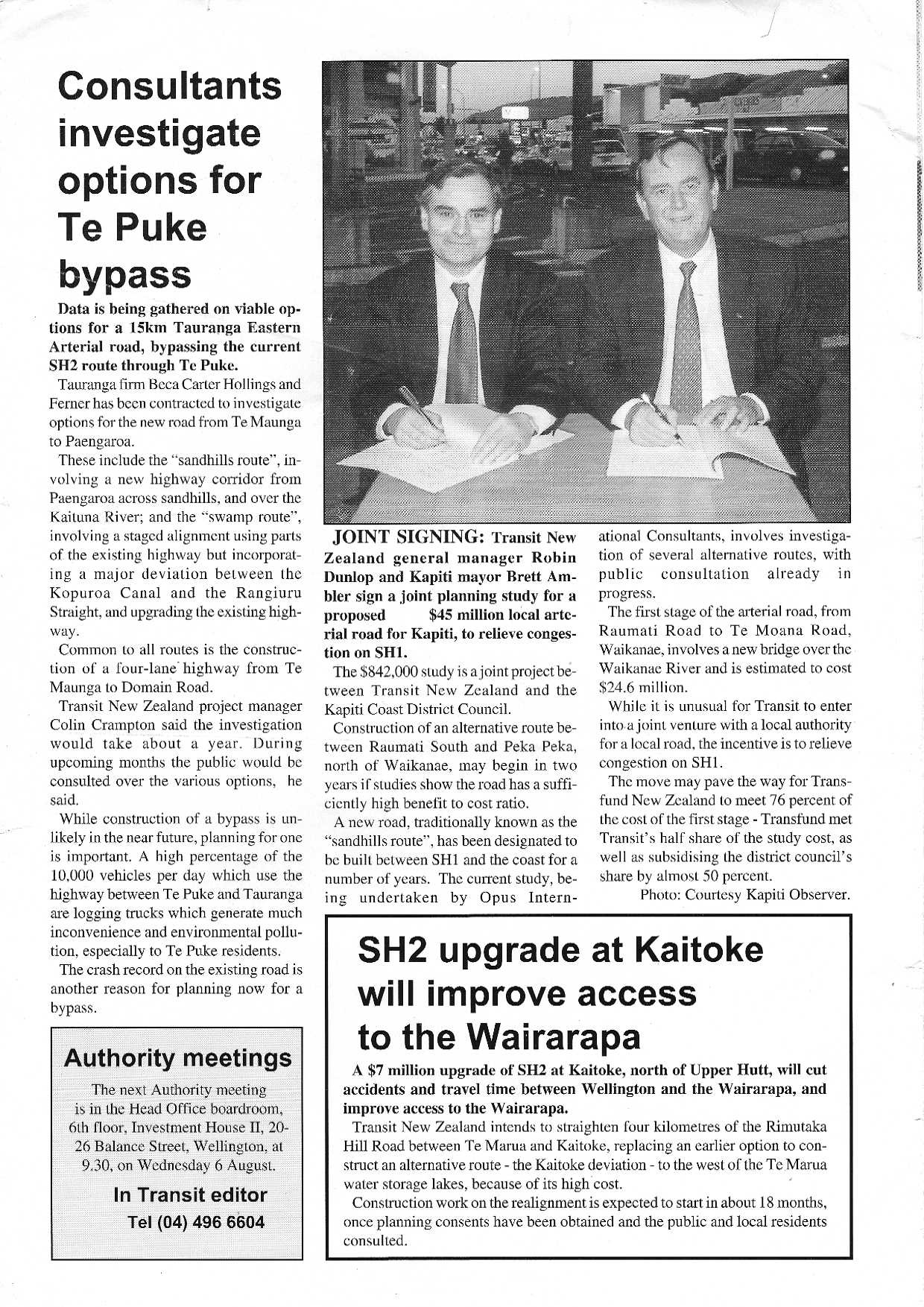
  • Transit NZ purchased land as part of a property development north of Tauranga to enable a corridor for the future northern Tauranga arterial project (what is now known as Takitimu North Link).
  • Options being investigated for the Te Puke Bypass (what is now the Tauranga Eastern Link) SH2.
  • Work to start on the $7m Kaitoke realignment on SH2 Wellington between Upper Hutt and the Remutakas.
  • Joint planning study launched with Kapiti Coast District Council for what was to be called the Kapiti Western Link Road project (a local road to connect Raumati, Paraparaumu and Waikanae to relieve SH1). This project was cancelled in favour of the Kapiti Expressway which was started in 2013 and completed in 2017, bypassing Paraparaumu and Waikanae with SH1.


23 September 2024

In Transit - April 1997 - No. 79 - Focus on fixing crash black spots


In April 1997, the Transit NZ newsletter (no longer monthly as the previous edition was February, focused on the success in reducing the road toll.  It also reported on opening of a motorway extension in Auckland (SH20 Mangere to Papatoetoe) and commencement of work on another (SH1 Albany to Puhoi enabling works), with cost estimates that look remarkably cheap compared to today in real terms.

1996 had the lowest road toll in 32 years at 515 fatalities, 67 fewer than in 1995, and only higher than 1964 which had 428 with a much lower population and VKT.

It was attributed to a focus on drunk driving and speeding, along with the long standing "black spot" programme established in 1985 focusing on locations where there had been at least three injury accidents within five years. On all roads there were 4200 fewer injury crashes at locations remedied comparing 1985 to 1996, reducing crashes by 28%, with about half of the reduction on state highways.  The crash investigation programme gathered data on each site to identify the causes of crashes and what infrastructure improvements might address them.  A wider initiative was a highway inspection process to identify network deficiencies and develop a safety culture to address possible issues, like overgrown foliage blocking visibility at intersections. Covert speed camera trials were being considered to address speeding.

Page 2 continued the article on safety, but also South American interest in the reforms in the road sector, particularly from Colombia, with some observations on technology such as telecommuting and enabling motorists to "dial up" traffic cameras as part of Auckland's Advanced Traffic Management System (ATMS) (a precursor to accessing them online).

Page 3 announced enabling contracts had been let for the then $165m Albany to Puhoi extension to the Northern Motorway.  At the time, the motorway was to be four-lanes to Orewa, and only two-lanes with passing lanes from Orewa to Puhoi, but built to a standard to enable four-laning at a later stage (the tunnel was not envisaged at this time).  The project was intended to be completed by 1999, but only the Albany to Silverdale section had been completed by that date.  At the time, the project (ALPURT as it was then called) was the largest single road project ever undertaken in New Zealand, primarily because all other sections of motorway in Auckland (and other cities) were built piecemeal over many years.  

Page 3 also saw the opening of the SH20 extension between Mangere Bridge and Papatoetoe, and the Airport Motorway as far as Kirkbride Road intersection with George Bolt Memorial Drive (then only a single-lane highway with passing lanes). The entire project was a five km extension built at a cost of $40m.  It was notable as the first ever design-build contract let by Transit NZ. The project notably included four pedestrian over bridges along with eight local road over bridges, and associated cycleways. It was reported as having significantly reduced congestion on urban roads through Mangere, effectively combining two sections of motorway from Hillsborough Road through to Roscommon Road.  It also significantly reduced travel times to and from the airport (noting there was no eastern access route to the airport at the time).

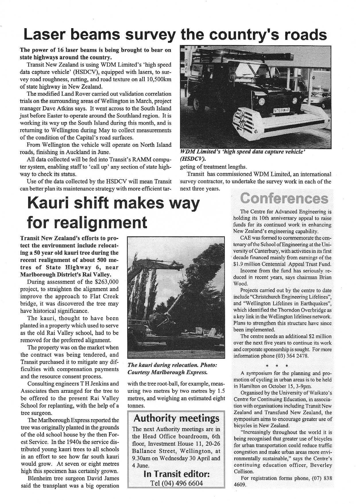
Page 4 reports on the use of a vehicle using lasers to measure road surfaces on all state highways to help collect data for the RAMM asset maintenance system to better plan road maintenance across the network.  Finally, there is a report on the realignment of SH6 Rai Valley in Marlborough ($263,000) which required relocation of a 50 year old kauri tree. 


18 September 2024

In Transit - February 1997 - No. 78 - Focus on repairs after Cyclones Fergus and Drena


In NZ, emergency works were always not too far away as part of the portfolio of works for road networks.  In February 1997, Cyclones Fergus and Drena caused extensive damage mainly in the Coromandel District.  The feature article highlights the cost of $5.8m (1997 prices) to fix the damage on SH25 and SH2, but also damage on SH1 (Brynderwyns), SH35 and SH88.

Other stories include:
  • Review of Special Purpose Roads: Special Purpose Roads were a category of local road that were subject to higher Financial Assistance Rate funding (typically 75%) from the National Roading Programme compared to other local roads (which obtain typically 50%). Such roads get higher funding because of a high proportion of tourist traffic, be below state highway standard and pass by properties with rating potential much lower than the costs of maintaining the road.  Curiously, this decision has mostly funding implications, yet was being carried out by Transit New Zealand which was no longer the funding agency, as Transfund New Zealand had been formed the previous year. 
  • Declaration of the revoked section of SH38 as a Special Purpose Road: As part of the State Highway Review in 1995, Transit New Zealand revoked SH38 between Te Whaiti and Ruatahuna. Transit announced it had decided to classify it as a Special Purpose Road increasing the funding to 75% of maintenance costs. That section of road was not sealed at the time. 
  • Earthquake strengthening of Thorndon Overbridge of the Wellington Urban Motorway: Image provided of the work to strengthen the 72 concrete columns supporting the Wellington Urban Motorway from the harbour over the Ferry Terminal, railway yards, Thorndon Quay. 
  • Briefing to the incoming Minister of Transport - Jenny Shipley indicates critical traffic levels in Auckland: This noted that traffic on Auckland Harbour Bridge had increased 20% between 1989 and 1997, and on the Northern Motorway south of Albany (when at this time it terminated), it had doubled from 1989 to 1995.  It noted work was underway investigating and consulting on various major projects included:
    • SH1 Albany-Puhoi (built in two stages)
    • SH1 Harbour Bridge approaches (subsequently cancelled in favour of the Victoria Park Tunnel)
    • SH18 Greenhithe Bypass (built as part of the Upper Harbour Motorway)
    • SH18 Hobsonville Bypass (built as part of the Upper Harbour Motorway)
    • SH20 extension to Richardson Road (built)
    • SH20 extension to SH1 south (built)
    • Bus only lanes on Northern Motorway (partially replaced with Northern Busway)
  • Transit NZ winning the Institution of Professional Engineers New Zealand (IPENZ) environmental award: For the upgrade of SH12 through Waipoua Forest.


19 February 2024

Transfund News - November 1996 - No.3 - Working with local authorities and Alternatives to Roading

 The third edition of Transfund News in 1996 had no major focus, but included articles as follows:

  • Additional funding for territorial authorities to meet the costs of former State Highways that would be redesignated as local roads by Transit New Zealand under the latter's state highway review. The purpose being so that territorial authorities are able to more gradually absorb the local share of costs of roads that are no longer state highways, through other funding sources notably rates increases.
  • Development of Partnership Agreements between Transfund and road controlling authorities and regional councils, to formalise the funding arrangements between them.
  • Competition for construction contracts has been strong, with an average of 4.1 responses for each contract put out for tender by Transit NZ and territorial authorities for road physical works. It was noted that the Competitive Pricing Procedures in 1995 had resulted in a 10-15% reduction in state highway maintenance and construction costs.  Competitive tendering would continue to be rolled out so that by 1998 all minor and ancillary work would be put out to tender.
  • Local Authority Trading Enterprises (LATEs) won one in six local road physical works contracts in the first six months of 1996.  LATEs (now known as commercial Council Controlled Organisations) were the former local authority works departments that were required to be restructured into trading enterprises for local authorities to be able to receive central government funding for road works (this was intended to ensure a level-playing field between council and private contractors).  At the time, Manukau City, Waitomo District, New Plymouth District, Hastings District, Central Hawke's Bay District, Dunedin City and Clutha Districts had LATEs that won such contracts. 
  • Transfund released a discussion document called "Financial Assistance for Alternatives to Roading". It was split into public transport and freight ATRs. The purpose was to recognise that in the absence of road pricing, the land transport system would not be efficient if it only funded roads, if there was infrastructure or services that could be funded to make up the difference between user contribution and the net benefit of the project.  Two key constraints for ATR funding were significant. One was that funding was only available for projects that met the same benefit/cost ratio threshold as road projects that were being funded (in 1996 that was 4.5/1), another was that benefits were primarily benefits to road users as they were the ones paying for the project.
  • Concern about unsafe objects located around road networks, which Transfund can only provide guidelines and recommendations about.
Transfund News November 1996 No. 3 p1
Transfund News November 1996 No. 3 p2

Transfund News November 1996 No. 3 pg3

Transfund News November 1996 No. 3 pg4


24 January 2024

In Transit - August 1996 - No. 75 - 18% increase in state highway spending and Transfund separates from Transit

The August 1996 issue of In Transit is the first edition of the Transit NZ newsletter to be published after the agency's funding functions were transferred to Transfund NZ.  This issue focused primarily on the state highway funding provided by the 1996 National Roading Programme.  Key highlights of that were:

  • 18% increase in state highway funding compared to the previous year
  • New projects to be funded include:
    • Hastings extension of the 2-lane Napier-Hastings Motorway (bypassing Pakowhai to terminate on the outskirts of Hastings). This would later be redesignated as the "Hawke's Bay Expressway" and see SH2 relocated to this route.
    • Stoke Bypass SH6 Nelson
    • Albany-Silverdale extension to the Auckland Northern Motorway as the first stage of the ALPURT project
    • Otira Viaduct SH73 Canterbury to bypass the treacherous zig-zag section in Arthurs Pass
  • BCR threshold for project funding had been lowered from 5 to 4.5 and was expected to be 4 the following year
The newsletter also notes that the split between Transfund and Transit means "Transit can focus its energies on being the national manager of the state highway network". It was noted it would enable the agency to focus more on its professional expertise including development of a state highway strategy, so that the network was developed in a co-ordinated way.

Other points in the newsletter included:
  • Progress in the State Highway Review (which reviews which roads should or should not be State Highways). Noting that the Review proposed revoking State Highway status for SH1 from the entrance of the Port of Bluff to the southern tip due to the lack of tourist traffic
  • Colder weather explaining more closures of Desert Road (noting postponement of a trial of using road salt)
  • Various conferences
In Transit August 1996 p1
In Transit August 1996 p2
In Transit August 1996 p3

In Transit August 1996 p4

02 October 2023

Newlands Interchange, Wellington

Newlands Interchange - Project Newsletter 1996

It is taken for granted now by drivers and passengers using SH1 Ngauranga Gorge today, but it is notable that the last traffic light controlled intersection on SH1 north of Wellington until Papakowhai (and today until Levin) was not removed until 1998.

At the top of the Ngauranga Gorge on SH1 in Wellington, the Newlands intersection was a legacy of when the Gorge road was upgraded, sealed and widened in the 1930s as part of the Centennial Highway project (which ended in suburban Johnsonville and did not recommence until beyond Plimmerton to Pukerua Bay and along the coast to Paekakariki).  Having a traffic light controlled intersection on a six-lane highway that, at the time, operated at a 100 km/h speed limit, created a considerable bottleneck, primarily for the state highway traffic, but also long queues for traffic turning off to Newlands (which would back-up into the fast lane). Queues southbound would extend past the Johnsonville southbound offramp and northbound down to the Ngauranga intersection. Some of this is illustrated in the project newsletter. Contributing to congestion is that trucks from the quarry and industrial sites on the southern side of SH1 Ngauranga Gorge have to go uphill and enter Newlands, by crossing into the fast lane and queuing to turn.  This would be eliminated by the project having a slip lane to enter the interchange for an easier turn.

The intersection would also be the site for accidents ranging from multiple nose-to-tails to occasional red-light collisions.  One report indicated that the intersection had had 28 injury accidents in the five years from 1991-1996.

In essence, the efficiency and useful capacity of this section of highway was compromised by the intersection. Noting that by the time this project was built, two traffic light controlled intersections on SH1 in Porirua just north of the Johnsonville-Porirua Motorway (at Mungavin Avenue and The Ramp) had already been replaced by grade-separated interchanges, permanently relieving congestion on SH1 through Porirua. 

The Newlands Interchange project plans were released in 1993, but construction did not start until December 1996 and it was opened in March 1998. The problem was not funding, as it had a Benefit/Cost Ratio above 6. This consisted of $70m in travel time and vehicle operating cost savings over 25 years and $12m in accident savings over that time. At the time SH1 Ngauranga Gorge had around 60,000 vehicles per day with Newlands Roads at 13,000.  Today Ngauranga Gorge still averages around 59,000 vehicles per day.

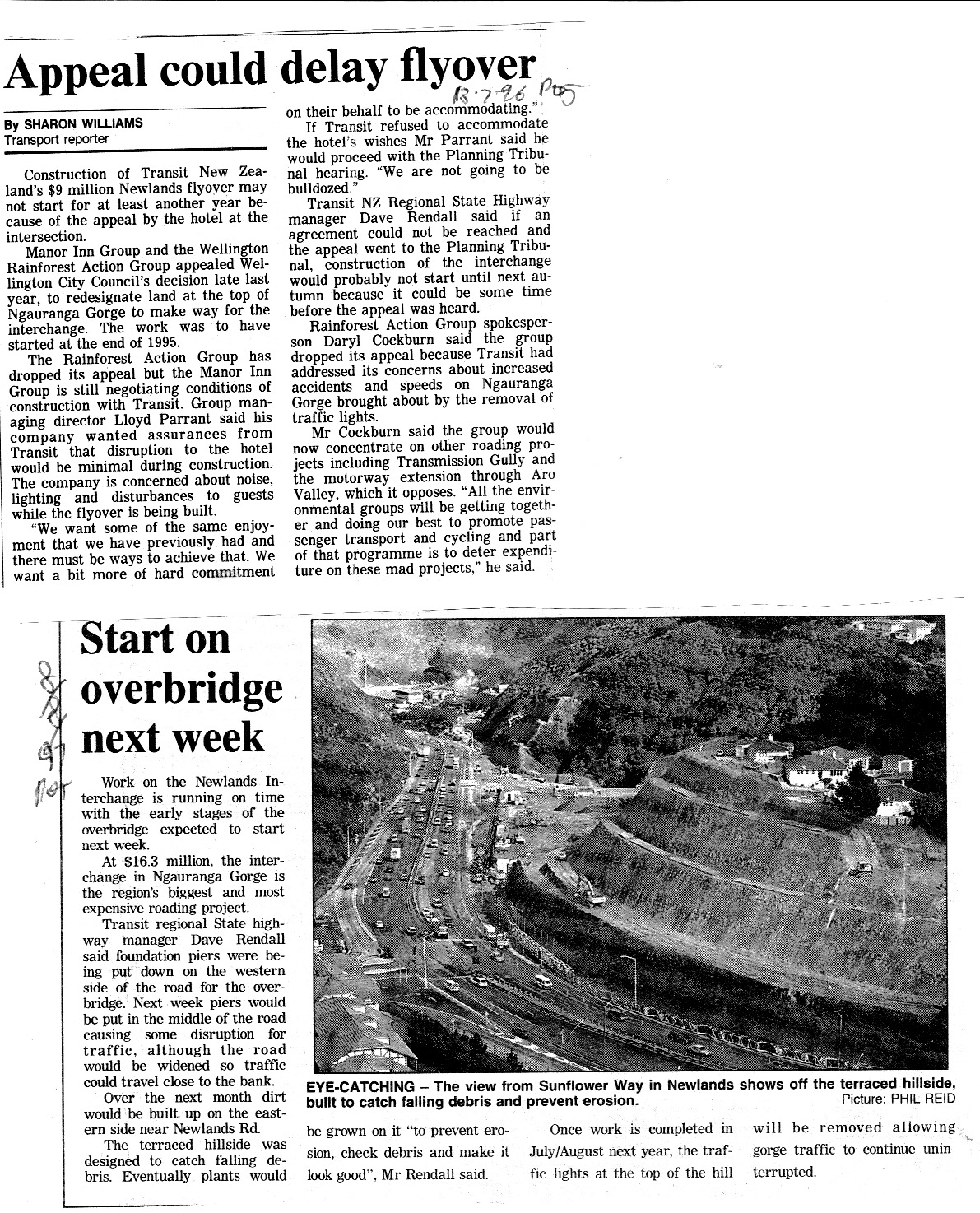
Delays were due to planning appeals, specifically local concerns about construction disruption from the adjacent motel and opposition from the Rainforest Action Group. This post includes multiple newspaper articles about the project, but also the official information leaflet upfront. 

The project was originally costed at $9m but ended up costing $16.3m (the BCR of over 6 reflect the latter cost, the previous cost had a BCR over 11)

Newlands Interchange - Project Newsletter Page 2

Newlands Interchange - Project Newsletter Page 3

Newlands Interchange - Project Newsletter Page 4


The following articles are :

  • dated 13 July 1996 from the Evening Post, about appeals for planning approval from the Manor Inn Group (largely due to concerns over disruption during construction) and the Rainforest Action Group (which withdrew its appeal). 
  • Dated 8 August 1997 depicting the construction of the project, including an image of how erosion and debris would be addressed.
  • Undated in 1997 also depicting construction of the project


1996 and 1997 articles

The following article reports on the final appeals against the project being addressed and intention to go to tender for its construction. 


Newlands interchange 04 October 1996 Evening Post

The following article is a schematic diagram of the project and describes further the problems with the former intersection.

Newlands Interchange 7 November 1996, Dominion

This final article reports on the interchange being due to open at the end of March 1998.

Newlands Interchange 19 March 1998 Evening Post


21 August 2023

The three stages of the Wellington Inner City Bypass towards Tunnellink


Tunnellinkage June 1992

Tunnellinkage June 1992

Wellington Inner City Bypass Programme

History of Wellington Inner City Bypass

The origins of Wellington's urban go back to 1963 when following a report by US consultants De Leuw Cather, it was decided that what was then called the "Foothills Motorway" would be built from Ngauranga to Mt Victoria Tunnel following the foot of Tinakori and Kelburn hills. De Leuw Cather recommended it over a waterfront motorway which would have run along the wharves with ramps connecting to the quays, but it also recommended an underground rail extension to Courtenay Place.  The waterfront motorway concept was quickly abandoned, and the underground rail extension left to the Railways Department to abandon due to cost.

The motorway would bypass the intersections on the busy Hutt Road from Ngauranga south, and take traffic away from the waterfront to bypass the city towards the southern and eastern suburbs.  The motorway was built almost entirely in full as far as Bowen Street, but budgetary constraints saw it curtailed at Willis Street in 1978, with only one of the proposed two Terrace Tunnels built, and with no connection to Ngauranga Gorge. However, the land necessary for the motorway was designated and progressively acquired in the following decades.

With the Ngauranga Interchange opened in 1984, traffic at the end of the motorway at Ghuznee Street started to become a problem, as it now carried both the SH2 and SH1 traffic into Wellington (previously SH1 was the Hutt Road south of Ngauranga to Aotea Quay and then the Quays as far as Taranaki Street.  However funding was not available to complete the motorway (by then scaled down to a grade-separated arterial extension with a 70km/h design speed) throughout the 1980s.  The reforms of 1989 which saw Transit New Zealand set up as a separate state highway manager and land transport funding agency (replacing the National Roads Board and Urban Transport Council) saw revival in interest in progressing the work, but the 1980 design which included severing Cuba Street and an elevated route over Taranaki Street fell out of favour due to concern over aesthetics, noise and severance, which resulted in a cut-and-cover trenched tunnel being the preferred solution by 1992.  This was known as Tunnellink as it was designed to link the Terrace Tunnel and Mt Victoria Tunnel (without duplicating either, as that was not seen as necessary at the time).

Above is one of the newsletters issued by Transit New Zealand about Tunnellink which clearly depicts the route, and the street hierarchy for central Wellington. It also describes clearly how Wellington City Council at the time integrated the proposal into its transport strategy.  At the time it was not clear that Tunnellink would be entirely a state highway project, as SH1 terminated at Willis Street and did not continue to the airport, but that would be changed in the 1995 State Highway Review whereby Transit New Zealand included connections to airports as being of national importance (as seen by the designation of George Bolt Memorial Drive in Auckland as SH20A after the Mangere motorway extension was completed). 

The newsletter clearly shows how Tunnellink was seen was part of a wider transport strategy that was about removing traffic from inner city streets, containing growth of the central city within the boundaries of Tunnellink and the arterial routes along the waterfront, enhancing the "Golden Mile" and integrating the waterfront with the city. It was also seen as critical in enabling improved access for public transport, cyclists and pedestrians. Parking in the inner city was to be constrained, with public transport priority given and even consideration of converting the Johnsonville rail line to a guided busway (subsequently abandoned in favour of lowering the height of the railway tunnels to enable use by new rolling stock).  Integrated ticketing was also part of the strategy, along with footpath widening and cycleways.  It may be worth recalling in 2023 how much thinking in the 1990s was not out of alignment with current trends.

However, funding for road capital spending was severely constrained in the early-mid 1990s and there was little sign that it would be expanded sufficiently or quickly enough to enable Tunnellink to be funded, so in 1995 it was decided to make the Wellington Inner City Bypass (as it had been renamed) coined as a three stage project to achieve short, medium and long-term improvements.

The second leaflet summarises those stages:
  1. Convert Buckle Street westbound and Vivian Street (east of Taranaki Street) eastbound into a one-way pair, to relieve Buckle Street and remove the dangerous chicane of access from Buckle Street across to Dufferin Street. 
  2. Build a new one-way road adjacent from Taranaki Street, using part of Arthur Street across Cuba, Victoria and Willis Streets to a new motorway on-ramp, and converting all of Vivian Street into a new eastbound one-way street as the end of the motorway, severing the Ghuznee Street offramp
  3. Tunnellink
Stage 1 was meant to provide quick temporary relief whilst Stage 2 was progressed and underway. Stage 2 was forecast in 1995 to be adequate for ten-years, by which time it was seen likely to be able to fund Tunnellink.  

In actuality, Stage 2 took much longer as opposition to the project became a cause celebre for some residents in Te Aro, and the Green Party, and it was not until 2007 that Stage 2 was completed, following legal delays and efforts by the Green Party and opponents to get the Government of the day to stop the project altogether.

As Stage 2 was being progressed, Transit New Zealand quietly ceased further efforts to progress Stage 3, as it was seen as too onerous, so focus changed.  An unrelated project to build a new National War Memorial saw part of the route placed in a cut-and-cover tunnel parallel to Buckle Street (under Tory Street) but with sufficient width to connect to a bridge from Mt Victoria Tunnel.  That bridge itself became controversial with Mt. Victoria residents (the bridge designed to relieve congestion at the Basin Reserve westbound) and was shelved in favour of a wider study of SH1 from Ngauranga to the Airport.  That was subsequently expanded in scope to be a wider central Wellington strategic transport project, which is the genesis for what is now called Let's Get Wellington Moving!