Search This Blog

Showing posts with label 1998. Show all posts

29 October 2024

In Transit - July 1998 - No. 93 - Flood damage and summary of state highway funding under 1999 National Roading Programme

The July 1998 edition of InTransit primarily focused on repairs to flood damaged highways in Taranaki, Waikato, Bay of Plenty, Auckland and Northland.  However, it also included a summary of state highway funding under the 1999 National Roading Programme, funded by Transfund NZ at the time.

Highlights were:

  • $444.2m of funding for the year for Transit NZ for all of its work, around half of all funding going to Transit NZ, the remainder going to local authorities for local roads and public transport.
  • $221m of Transit's funding was for state highway maintenance
  • The funding threshold for new projects was maintained at a BCR of 4:1. 
  • Projects separated into Category 1 (approved now) and Category 2 (funding approved dependent on finalising resource consents, property purchases).
New projects with approved funding were listed by region, with those mentioned (that were not already committed) including:
  • Design of Grafton Gully upgrade on SH16
  • Structural upgrade of Auckland Harbour Bridge to meet seismic standards
  • Development of ATMS on Auckland's motorway network
  • SH2 Sargants Corner realignment, Hauraki District
  • SH5 Rotorua Stockpile Curves realignment
  • SH3 Awakino realignment
  • Four-laning of Old Taupo Road Rotorua (SH5)
  • Route J, Tauranga (SH2)
  • White Pine Bush South realignment SH2, Hastings District
  • Glengarry Hill realignment SH5, Hastings District
  • SH3A South Clearview Curves realignment, New Plymouth District
  • Urenui Bridge replacement SH3, New Plymouth District
  • Investigation/planning for SH1 4-laning, realignment from Plimmerton to Pukerua Bay, Porirua City
  • Maisey-Bronte realignment SH60, Tasman District
  • Candy's Bend to Starvation Point realignment, SH73
  • SH1 Hawkswood Deviation near Cheviot
  • Six single-lane bridge widenings SH6 Makaroa
  • SH1 Gore Main Street improvements
  • SH1 Fairfield Motorway Dunedin (extension of Southern Motorway beyond Green Island)


23 October 2024

In Transit - March 1998 - No. 89 - Mobile phone dangers and preparation needed for major state highway projects

The March 1988 edition of InTransit highlights the growing dangers of mobile phone use on road safety, noting a paper to be delivered at a forthcoming conference reporting "mobile-phone users who make more than three calls per trip have nearly three times as many injury accidents and twice as many fatal accidents as those who never use a mobile phone".

At the time the then Land Transport Safety Authority noted that there were more crashes due to people lighting a cigarette or adjusting a car stereo than a mobile phone, but of course the numbers of the public with mobile phones in 1998 were still relatively modest.  A smaller article on the second page notes a Canadian paper that mobile phone use increases driving danger as much as drunk driving.  In 1998 there was no specific offence in New Zealand of driving whilst using a mobile phone.

Other notable articles in this edition are:

  • A major project update noting progress on the following projects:
    • Stage One Kamo Bypass, SH1, Whangarei (subsequently completed)
    • Orewa Bridge replacement, SH1 Rodney District (completed the following month)
    • Albany-Silverdale (ALPURT), SH1 Auckland, construction contracts let, resource consents sought for Silverdale to Puhoi (subsequently discontinued as the project was reprioritised and redesigned to be a toll road).
    • Mercer-Cambridge four laning (later dubbed the Waikato Expressway). Designations sought for Mercer to Ohinewai, and corridor options being considered for Ohinewai to Cambridge. At the time it was thought the project would be completed in 2010, but was completed in 2022.
    • Kopu Bridge replacement, SH25. Expected to be completed 2002, it was actually completed 2011.
    • Hawke's Bay Motorway (later Expressway). Pakowhai to Hastings under construction, the York Road  (bypassing Hastings) extension under design. Full completion expected 1999 (which was true for those sections, but the final extension south was not completed until 2011).
    • Vinegar Hill realignment, SH1 Manawatu. Under construction and was completed 1999
    • Newlands Interchange, SH1 Wellington, under construction and completed late 1998
    • Thorndon Motorway Viaduct seismic strengthening SH1, Wellington, under construction and completed 1999 (images included in this edition).
    • Stoke Bypass, SH6 Nelson. Work commenced and would be completed on schedule in 2000.
    • Otira Viaduct, SH73 Canterbury, Work underway and concluded in 1999
    • Fairfield Bypass SH1 Dunedin, Route designation and resource consent applications lodged. Project would be completed in 2003.
  • Success of the Thorndon motorway viaduct seismic strengthening project, designed to ensure it can survive a 1 in 500 year earthquake of up to seven on the Richter scale.
  • Article describing the process (in 1998) of developing a major highway project before construction could begin, the stages being:
    • Strategic planning
    • Investigation
    • Design
    • Planning approval
    • Land purchase
    • Construction
  • Transit NZ adopting new standards on road lighting.


13 November 2023

Wellington traffic and transport funding woes in the 1990s

This post is a series of articles from 1990 through to 1999 discussing the issues and funding of roads and urban transport more generally in Wellington.


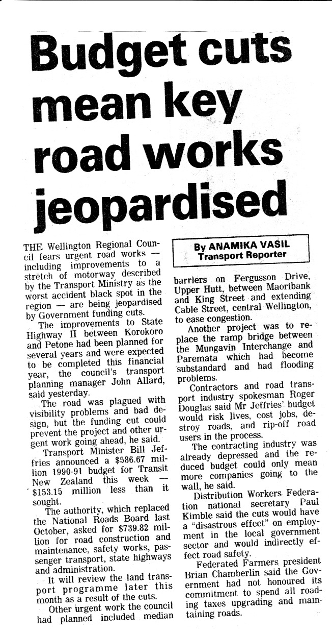
This article from 1990 reflects the cuts in funding in the last budget under the Fourth Labour Government, at the time under Geoffrey Palmer, which provided $153m less funding that Transit New Zealand sought.  Projects threatened (and delayed) were:

  • Korokoro/Petone upgrade to SH2 (which was not undertaken until the late 1990s)
  • Fergusson Drive median barriers Upper Hutt City (which did not proceed)
  • Cable Street extension Wellington (which did proceed to create the one-way system with Wakefield Street)
  • Ramp Bridge replacement Porirua, SH1 (which proceeded in the late 1990s.


This feature by Kate Coughlan in The Dominion describes the major traffic problems in Wellington in the 1990s.  It concludes that there is unlikely to be any significant relief. It summarises some of the issues of driving in the morning peak and follow by a map with traffic figures describing the main choke points. 


This summary is a fair report of the key traffic bottlenecks across the region in 1996.  To review where these now are in 2013:
  • Paremata-Pukerua Bay: The proposed solution at the time was implemented, with a second Paremata Bridge, clearways, traffic lights through to Plimmerton and four-laning through Plimmerton.  This relieved congestion at this location, but Pukerua Bay became the major bottleneck. This was addressed long-term with the Transmission Gully motorway, although the forecast it would be open by 2006 proved to be more than a decade out.
  • SH2:  In 1996 the problems were the intersections at Korokoro and Melling. The best solution mooted was the Cross Valley Link (which has not yet been built), but the proposed solution was grade separation at Korokoro, Dowse Drive and Melling.  Korokoro and Dowse Drive were built in the early 2000s, but Melling although funded is yet to commence construction.  In 2023, Melling remains a major bottleneck, but north of Manor Park, SH2 is particularly slow in the AM peak.
  • Mungavin Avenue: In 1996, the Mungavin Roundabout queued back to Cannons Creek. As reported, the solution was a duplicate Mungavin Bridge, which was built in 1998 and addressed the bottleneck.
  • Newlands lights:  The busiest traffic light controlled intersection on SH1 was a major bottleneck, but as reported, the Newlands Interchange had been funded and would permanently relieve this bottleneck. 
  • Wellington city motorway offramps: Not specific on the ramps, but noted that policy was to discourage car commuting into the CBD, and encourage public transport use by sustaining subsidies for rail and bus services.  This appears largely to have succeeded as traffic to the Wellington CBD in the AM peak has been flat for over 20 years.
  • Karori Road:  The Karori Tunnel and Karori Road were bottlenecks with very slow traffic at the time and this has not changed. The best solution at the time was said to be to widen Karori Road and duplicate the tunnel, but the expected solution was a bus lane.  The outcome was the Chaytor Street bus lane, which is soon to be removed to accommodate an uphill cycle lane under Let's Get Wellington Moving.  Karori Tunnel remains a bottleneck.
  • Mt Victoria Tunnel/Basin Reserve:  The 1996 bottleneck was traffic exiting Mt Victoria Tunnel to the Basin Reserve, and from Adelaide Road. The preferred solution was grade-separation at the Basin Reserve, but planned solution was traffic signals. In 2023, the Basin Reserve is a major bottleneck, as is the tunnel. 
  • Terrace Tunnel to Mt Victoria Tunnel: Congestion between the two tunnels was chronic in the 1990s with the dog-leg route between the tunnels.  The preferred solution was to duplicate the tunnels and connect them with the proposed cut-and-cover motorway extension. However, what was expected was the "Inner City Bypass" of Karo Drive with a one-way system. This was expected to be completed by 2000, but did not finish until 2007.  In 2023, the two tunnels are major bottlenecks, and Vivian Street/Karo Drive are regularly congested at peak times.
  • The Merge (SH2/SH1 Ngauranga): This was described as caused by incompetent driving and the solution was Police presence at the site encouraging better behaviour.  In 2023, the issue remains although northbound in the PM peak, the addition of a fourth lane from Aotea Quay has greatly eased congestion in that direction.
Evening Post 25 June 1996

Meanwhile, the Business Roundtable believed that the time was right to end public transport subsidies, and that the Wellington Regional Council should progressively reduce such subsidies and ensure services paid their own way, and allow more bus services to compete with rail. These proposals were not taken up.


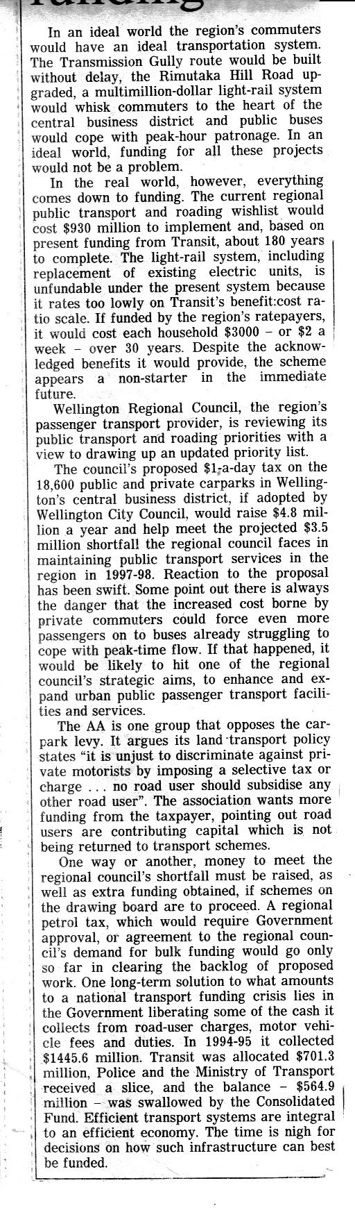
The Evening Post editorial of 22 June 1996 focused on transport funding in Wellington, noting that the $930m wishlist of the Regional Council for roads and public transport would take 180 years to be funded, at the levels available at the time. At the time it included Transmission Gully, a major upgrade to the Rimutaka Hill Road and replacing the old electric multiple units with light rail.  It had proposed a tax on inner city carparks, which did not proceed. The Evening Post proposed that money directed from fuel tax to the Crown account be put into the National Roading Fund.  Ultimately this did happen, but not until after 2008. Subsequently Transmission Gully was funded, along with some upgrades to the Rimutaka Hill Road, but it was decided that light rail was not a viable replacement for the English Electric EMUs in Wellington, and Korean-built "Matangi" units. 

Evening Post 06 September 1996

The Wellington Regional Council transport committee discussed in 1996 the idea of putting a toll on SH1 Ngauranga Gorge to raise money to fund its proposed transport programme. Noting that the only elements of transport in Wellington it has authority to fund are public transport as it is not a road controlling authority.  The proposal would have charged $1 for traffic entering Wellington via the Ngauranga Interchange.  It received widespread opposition and no support from Government, and did not proceed.

Evening Post 22 June 1997


Trucking lobby group, the Road Transport Association (RTA) was highly critical of transport policies in Wellington in 1997, including the specific policy of not increasing the capacity of highways entering Wellington from the north.  Former Minister of Works and Chief Executive of the RTA, Tony Friedlander, was critical of the ruling out of extra capacity between Ngauranga and Petone (which at the time was planned to be a third southbound lane from Horokiwi to Ngauranga using the space of the current cycleway). This had been opposed by the Regional Council.  

The article also notes that trolley buses were to be phased out in five years (which did not occur for another 15 years), and the Wellington Regional Council wanted to tax carparks in Wellington, Hutt and Upper Hutt and Porirua cities.


The above article discussed proposals to four-lane Johnsonville Road from Ngauranga Gorge to the Moorefield Road roundabout.  The land was designated to enable widening, and was proposed to relieve congestion from through traffic adjacent to the retail precinct.  The proposal generated strong opinions in favour and against, but other options were also mentioned, including converting Johnsonville Road to a mall and building a new motorway interchange at Helston Road (to remove through traffic), both ruled out due to cost.  

Evening Post 30 April 1999

The Evening Post in 1999 reported on the draft Land Transport Strategy of the Wellington Regional Council, which was essentially its wishlist of road and public transport projects for the region. Statistics NZ reported that car commuting was falling across the region, with public transport patronage growing.  Proposed projects for roads were:
  • Kapiti Western Link Road (not built, replaced by Kapiti Expressway)
  • Mackays Crossing overbridge (built in the early 2000s)
  • Transmission Gully (completed in 2022)
  • Pauatahanui Bridge upgrade (completed in late 1990s)
  • SH1 improvements Paremata-Pukerua Bay (completed in early 2000s)
  • Rimutaka Hill Road upgrades (some completed in 2010s)
  • Kaitoke realignment (completed in 2000s)
  • SH58/SH2 interchange (completed in 2016)
  • Petone Esplanade upgrade (not undertaken)
  • SH2 Petone-Ngauranga bus lane (not undertaken)
  • Karori bus lane (completed in late 1990s)
  • Inner City Bypass and Adelaide Road upgrade (Stage 2 bypass completed 2007, Adelaide Road upgrade did not proceed)
Public transport projects proposed were:
  • Electrification to Waikanae (completed 2011)
  • Raumati station (never built)
  • Upgrades to Petone, Upper Hutt and Paraparaumu stations
  • Porirua to Hutt bus service (trialled in 1990s but cancelled due to lack of patronage)
  • Bus priority signals and lanes in central Wellington (lanes built)
  • New bus-rail interchange at Wellington station (built in 2000s)
  • Pedestrian covers in central Wellington streets (some built in 2000s)
The Regional Council also proposed light rail from Plimmerton to Whitby (which has not proceeded), between Melling and Waterloo stations (which has not proceeded) and to investigate light rail from Wellington station to the BNZ centre (southern end of Lambton Quay) (the latter is proposed as part of Let's Get Wellington Moving, but extended to Island Bay). 

Evening Post 30 June 1998 and 26 April 1999

These two articles reflect actual funding provided in 1998 and the Wellington Regional Council's proposed Land Transport Strategy in 1999. 

The 1998 article noted that the 1998-1999 National Roading Programme reduced funding for Wellington by 25% from the previous year, although total funding nationally increased by 6.2%.  The reason being that fewer construction work was funded for the 1998-1999 year, because of most of the completion of the Newlands Interchange.  Future construction projects were in the investigation and design stage, specifically the Dowse Drive/Korokoro upgrade on SH2, Kapiti Western Link Road, Karori bus lane and the Daly St extension to Queens Drive, Hutt City.  It was expected those projects would start the following year, but the first two did not.  Funding was provided for completion of the Newlands Interchange. Thorndon motorway viaduct earthquake strengthening, Kapiti Rd SH1 intersection upgrade.

 The article on the right saw the WRC propose to be undertaken between 1999 and 2004:
  • Bus lane on SH2 from Horokiwi to Ngauranga (did not proceed in favour of upgrading cycle lane)
  • Fourth lane on the Urban Motorway from Ngauranga to Aotea Quay with movable median barrier (did not proceed due to technical difficulties)
  • Korokoro-Dowse Drive upgrade/interchange (completed late 2000s)
  • Upgrade to Rimutaka Hill Road (Wellington side largely completed)
  • Stage 2 Inner City Bypass (opened 2007)
It also proposed projects to be undertaken beyond 2004:
  • Transmission Gully (opened 2022) said to cost $245m
  • Kapiti Western Link Road (superseded by Kapiti Expressway) estimated at $24m
  • Hutt to Porirua link road (not built and not pursued) estimated at $62m
  • Upgrading Petone Esplanade (not built)
  • Melling and Kennedy Good Interchanges (Melling funding approved in 2022) estimated at $33m

02 October 2023

Newlands Interchange, Wellington

Newlands Interchange - Project Newsletter 1996

It is taken for granted now by drivers and passengers using SH1 Ngauranga Gorge today, but it is notable that the last traffic light controlled intersection on SH1 north of Wellington until Papakowhai (and today until Levin) was not removed until 1998.

At the top of the Ngauranga Gorge on SH1 in Wellington, the Newlands intersection was a legacy of when the Gorge road was upgraded, sealed and widened in the 1930s as part of the Centennial Highway project (which ended in suburban Johnsonville and did not recommence until beyond Plimmerton to Pukerua Bay and along the coast to Paekakariki).  Having a traffic light controlled intersection on a six-lane highway that, at the time, operated at a 100 km/h speed limit, created a considerable bottleneck, primarily for the state highway traffic, but also long queues for traffic turning off to Newlands (which would back-up into the fast lane). Queues southbound would extend past the Johnsonville southbound offramp and northbound down to the Ngauranga intersection. Some of this is illustrated in the project newsletter. Contributing to congestion is that trucks from the quarry and industrial sites on the southern side of SH1 Ngauranga Gorge have to go uphill and enter Newlands, by crossing into the fast lane and queuing to turn.  This would be eliminated by the project having a slip lane to enter the interchange for an easier turn.

The intersection would also be the site for accidents ranging from multiple nose-to-tails to occasional red-light collisions.  One report indicated that the intersection had had 28 injury accidents in the five years from 1991-1996.

In essence, the efficiency and useful capacity of this section of highway was compromised by the intersection. Noting that by the time this project was built, two traffic light controlled intersections on SH1 in Porirua just north of the Johnsonville-Porirua Motorway (at Mungavin Avenue and The Ramp) had already been replaced by grade-separated interchanges, permanently relieving congestion on SH1 through Porirua. 

The Newlands Interchange project plans were released in 1993, but construction did not start until December 1996 and it was opened in March 1998. The problem was not funding, as it had a Benefit/Cost Ratio above 6. This consisted of $70m in travel time and vehicle operating cost savings over 25 years and $12m in accident savings over that time. At the time SH1 Ngauranga Gorge had around 60,000 vehicles per day with Newlands Roads at 13,000.  Today Ngauranga Gorge still averages around 59,000 vehicles per day.

Delays were due to planning appeals, specifically local concerns about construction disruption from the adjacent motel and opposition from the Rainforest Action Group. This post includes multiple newspaper articles about the project, but also the official information leaflet upfront. 

The project was originally costed at $9m but ended up costing $16.3m (the BCR of over 6 reflect the latter cost, the previous cost had a BCR over 11)

Newlands Interchange - Project Newsletter Page 2

Newlands Interchange - Project Newsletter Page 3

Newlands Interchange - Project Newsletter Page 4


The following articles are :

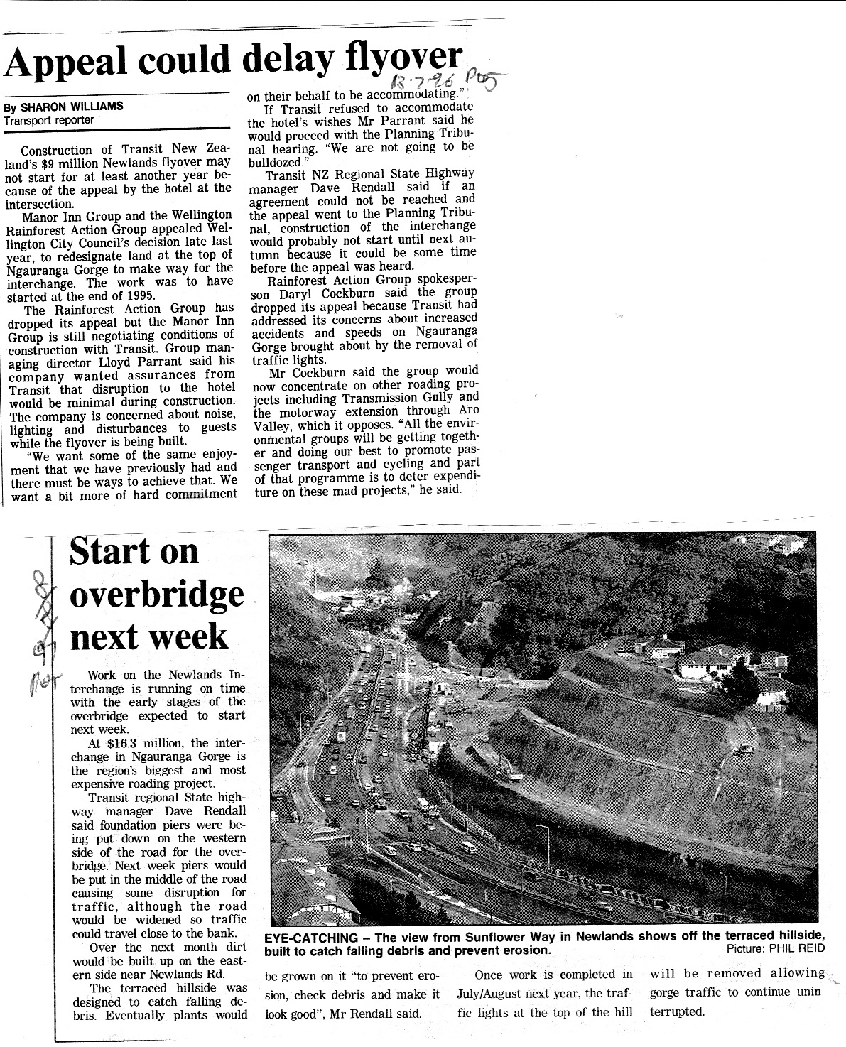
  • dated 13 July 1996 from the Evening Post, about appeals for planning approval from the Manor Inn Group (largely due to concerns over disruption during construction) and the Rainforest Action Group (which withdrew its appeal). 
  • Dated 8 August 1997 depicting the construction of the project, including an image of how erosion and debris would be addressed.
  • Undated in 1997 also depicting construction of the project


1996 and 1997 articles

The following article reports on the final appeals against the project being addressed and intention to go to tender for its construction. 


Newlands interchange 04 October 1996 Evening Post

The following article is a schematic diagram of the project and describes further the problems with the former intersection.

Newlands Interchange 7 November 1996, Dominion

This final article reports on the interchange being due to open at the end of March 1998.

Newlands Interchange 19 March 1998 Evening Post