Search This Blog

Showing posts with label 1995. Show all posts

22 September 2023

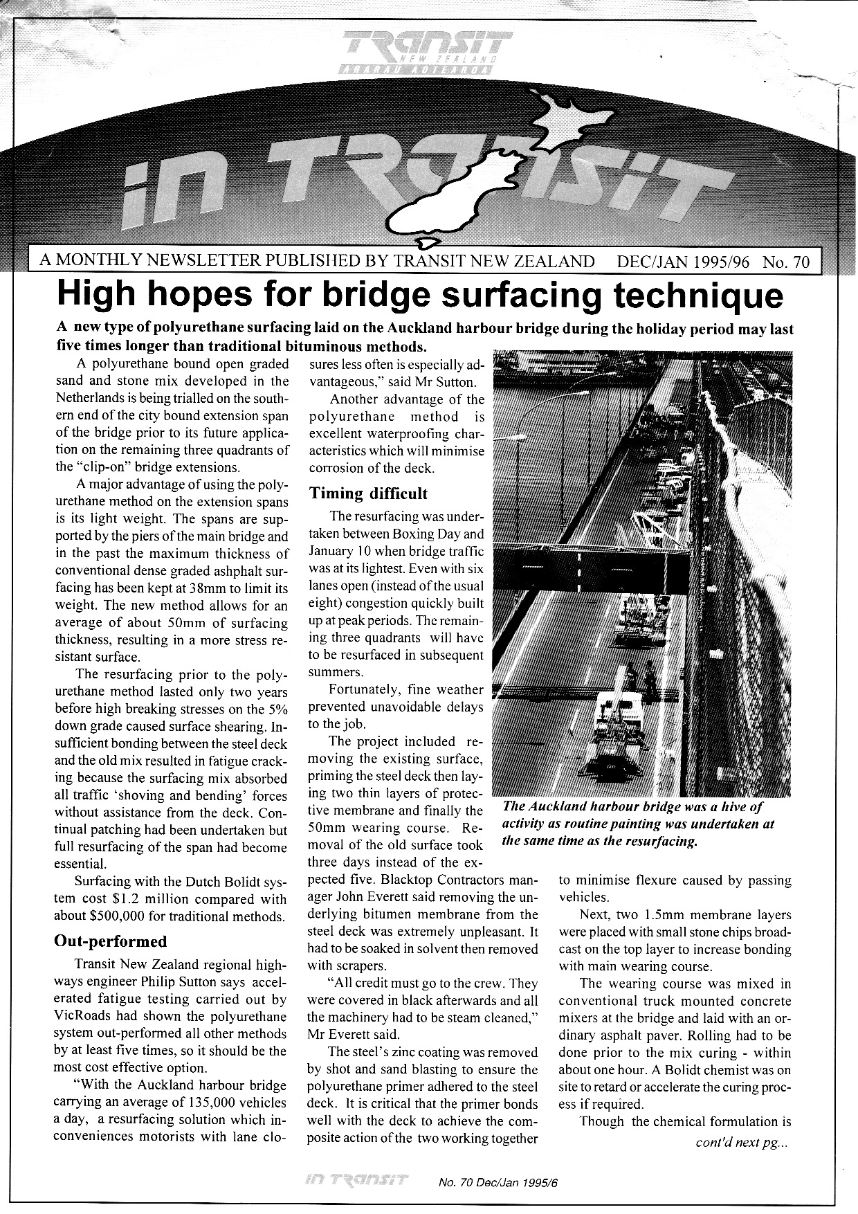
In Transit - December 1995 - Auckland Harbour Bridge Resurfacing trial


In Transit December 1995

Auckland Harbour Bridge resurfacing

Evaluation, PT competitive price procedures and road safety

Flooding, State Highway Review

This end of year edition of InTransit has articles on:
  • New lighter, longer-lasting polyurethane surfacing trialled on Auckland Harbour Bridge may last five-times as long as conventional bitumen.
  • First Year Rate of Return (FYRR) to be used to support project evaluation. Projects with a higher FYRR to get priority over those that generate lower returns in the first year.  Expected to preference those with crash reduction benefits compared to those that reduce congestion.
  • Changes to Competitive Pricing Procedures for passenger transport contracts approved, enabling longer contracts (up to six years) and larger contract sizes (removing limits on seats per operator per route).
  • Need for a focus on driver behaviour to improve safety.
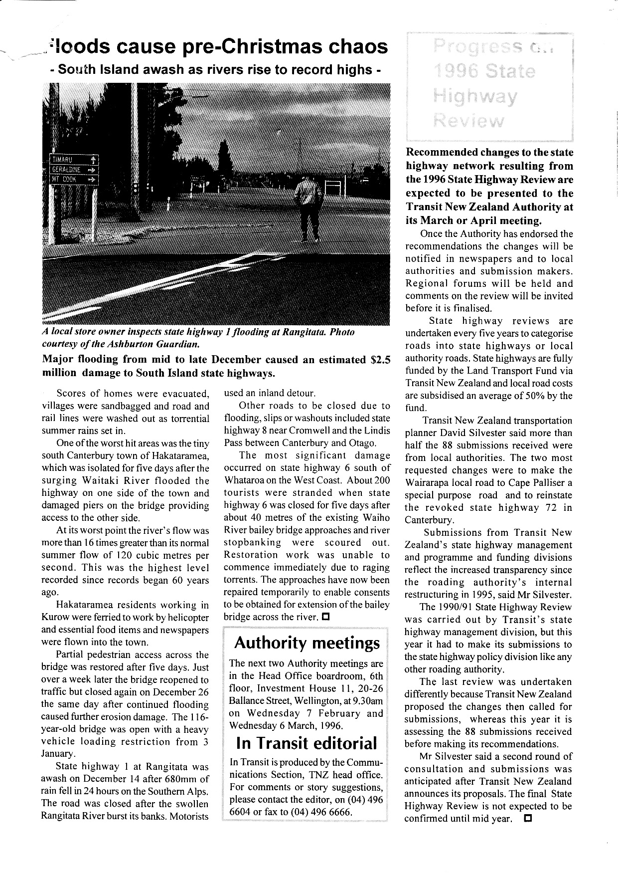
  • Flooding in South Island causing $2.5m in state highway damage.
  • Recommendations to be decided on State Highway Review.

20 September 2023

In Transit - November 1995 - International collaboration


In Transit November 1995 No. 69

In Transit November 1995 No.69


In Transit November 1995 No. 69

In Transit December 1995 No. 69

This edition of In Transit has articles on the following:
  • Technical collaboration between Transit New Zealand and AUSTROADS (the Australian association of road transport and traffic authorities) including use of the AUSTROADS pavement guide
  • Innovative new portable toilets to be trialled at rest areas north of Wellington
  • The National Roading Programme is to replace the National Land Transport Programme in 1996 when the funding functions of Transit New Zealand are transferred to the new Transfund New Zealand
  • Development of the Auckland Advanced Traffic Management System
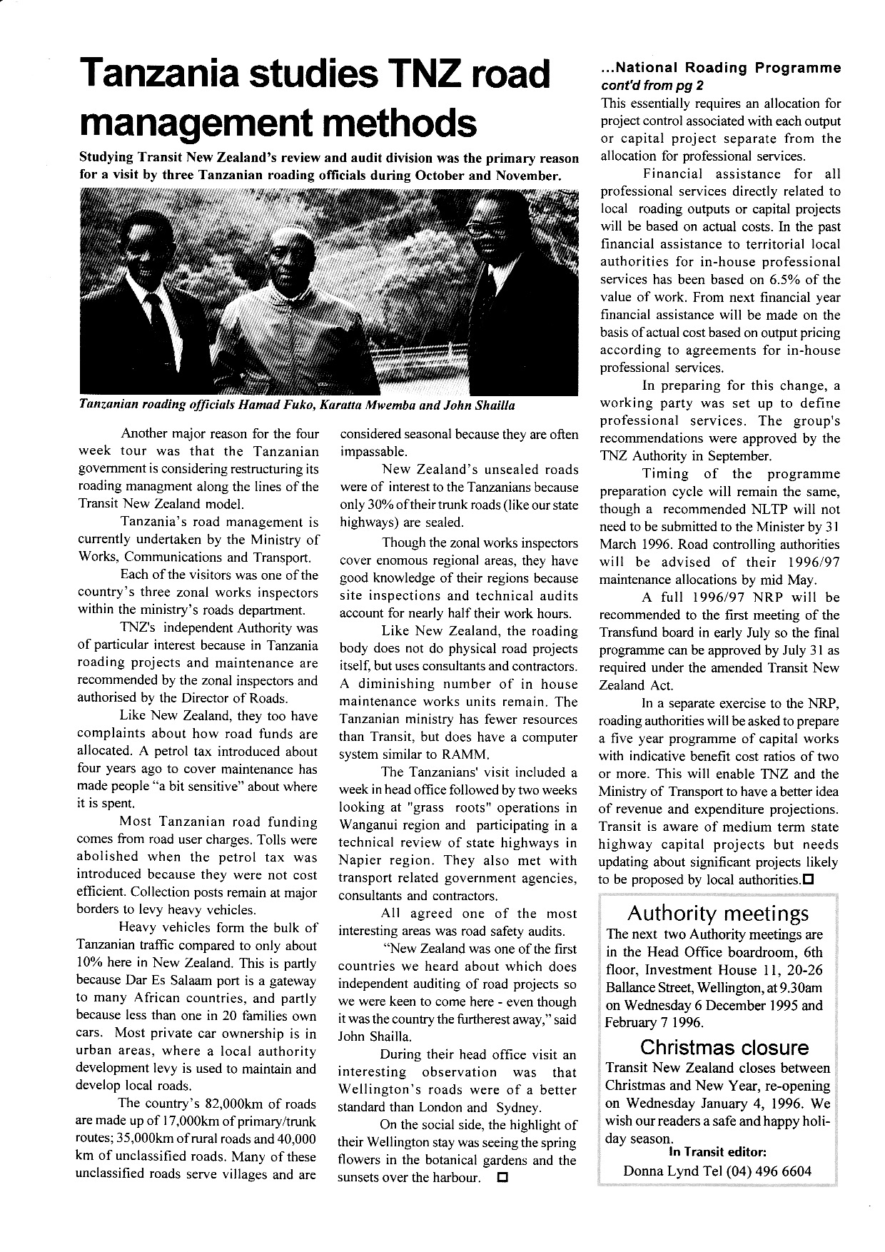
  • Tanzania studying road management in New Zealand.
It was noted that the launch of the National Roading Programme would see funding for all professional services at actual cost not 6.5% of the value of the capital work. It was also noted that roading authorities would need to prepare a five-year programme of capital works with indicative benefit/cost ratios of two or more, so that Transfund and the Ministry of Transport would have a better idea of revenue and expenditure projections. 

24 August 2023

In Transit - October 1995 - Manawatu Gorge reopening


New Chairman for Transit New Zealand

Re-opening of Manawatu Gorge following slips

Reopening of Manawatu Gorge, RAAM review, upgrade of Rimutaka Hill and mass and dimensions review

Paremata-Pukerua Bay upgrade and SH57 Potts Hill Bypass opens

This edition of InTransit reports on the following:
  • Appointment of the second chair in Transit New Zealand's history (since established in 1989)
  • Cosmetic upgrades to parts of Auckland's motorway network in advance of the CHOGM meeting
  • $2m spent to repair major slips in SH3 Manawatu Gorge and improve its resilience (Manawatu Gorge road was ultimately closed permanently in 2017 due to instability)
  • Review of the Roading Assessment Maintenance Management (RAMM) programme
  • Over $1m to be spent on SH2 Rimutaka Hill Road to address the tightest corners, extend passing lanes and shoulders
  • Paper presented on heavy vehicle weights and dimensions
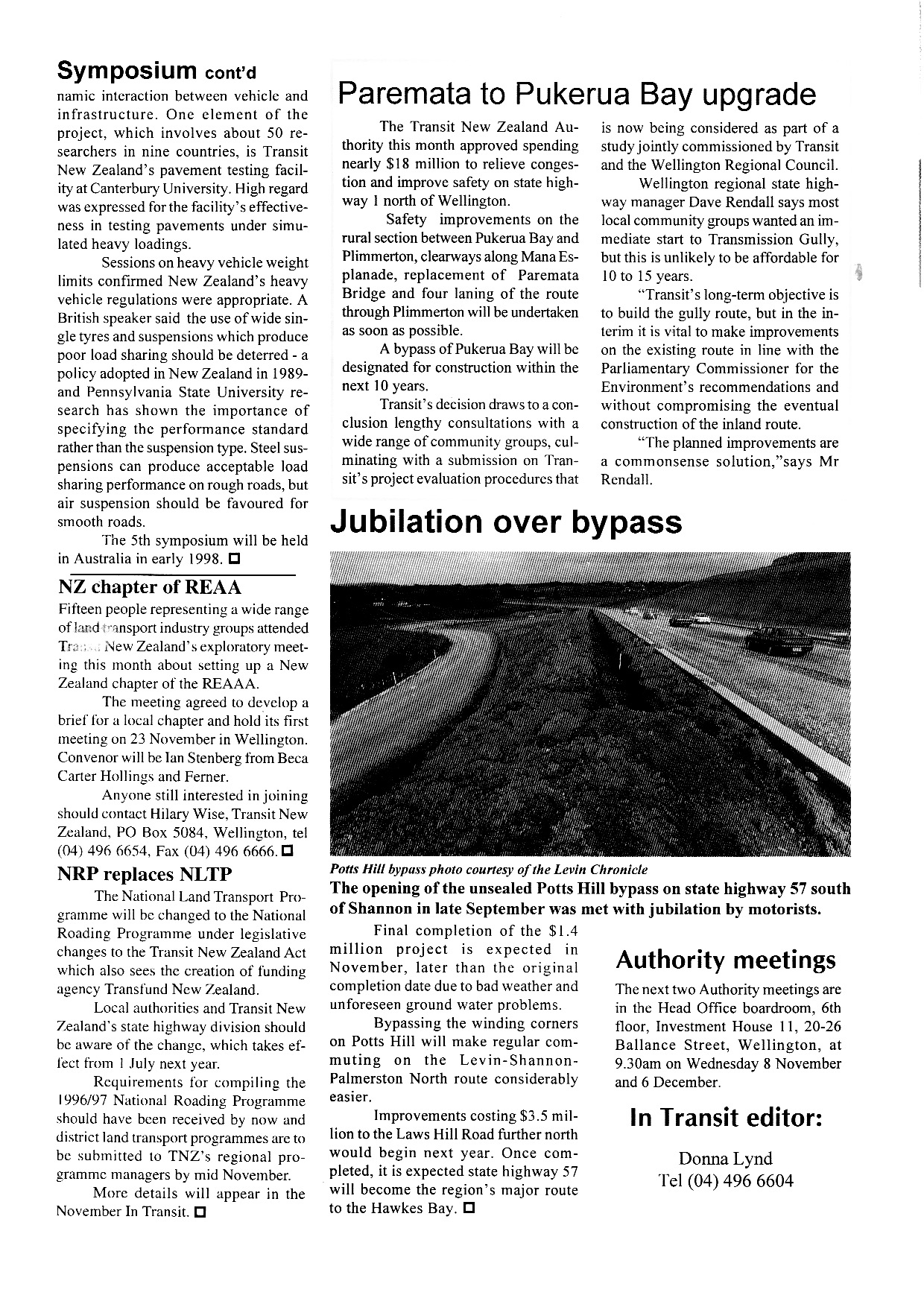
  • Approval given to upgrade SH1 between Paremata and Pukerua Bay, including duplication of Paremata Bridge, Clearways on Mana Esplanade, 4-laning from Mana through Plimmerton to Pukerua Bay with median barrier on the rural section (subsequently all built), at a cost of $18m
  • Opening of SH57 Potts Hill Bypass between Levin and Shannon
  • Noting that the National Land Transport Programme will become the National Roading Programme when Transfund is formed in 1996.
Of some note is the decision by Transit NZ to progress upgrades to SH1 from Paremata to Pukerua Bay despite considerable local opposition.  The upgrades had high benefit/cost ratios which justified them being progressed although it was accepted that Transmission Gully was the long term solution, it was not seen as being able to be funded for around 15 years (which would prove to be about correct).   Transit also pursued a bypass of Pukerua Bay which was to have been built within 10 years, but ultimately did not proceed as a strategic decision to progress with Transmission Gully had been made.

21 August 2023

The three stages of the Wellington Inner City Bypass towards Tunnellink


Tunnellinkage June 1992

Tunnellinkage June 1992

Wellington Inner City Bypass Programme

History of Wellington Inner City Bypass

The origins of Wellington's urban go back to 1963 when following a report by US consultants De Leuw Cather, it was decided that what was then called the "Foothills Motorway" would be built from Ngauranga to Mt Victoria Tunnel following the foot of Tinakori and Kelburn hills. De Leuw Cather recommended it over a waterfront motorway which would have run along the wharves with ramps connecting to the quays, but it also recommended an underground rail extension to Courtenay Place.  The waterfront motorway concept was quickly abandoned, and the underground rail extension left to the Railways Department to abandon due to cost.

The motorway would bypass the intersections on the busy Hutt Road from Ngauranga south, and take traffic away from the waterfront to bypass the city towards the southern and eastern suburbs.  The motorway was built almost entirely in full as far as Bowen Street, but budgetary constraints saw it curtailed at Willis Street in 1978, with only one of the proposed two Terrace Tunnels built, and with no connection to Ngauranga Gorge. However, the land necessary for the motorway was designated and progressively acquired in the following decades.

With the Ngauranga Interchange opened in 1984, traffic at the end of the motorway at Ghuznee Street started to become a problem, as it now carried both the SH2 and SH1 traffic into Wellington (previously SH1 was the Hutt Road south of Ngauranga to Aotea Quay and then the Quays as far as Taranaki Street.  However funding was not available to complete the motorway (by then scaled down to a grade-separated arterial extension with a 70km/h design speed) throughout the 1980s.  The reforms of 1989 which saw Transit New Zealand set up as a separate state highway manager and land transport funding agency (replacing the National Roads Board and Urban Transport Council) saw revival in interest in progressing the work, but the 1980 design which included severing Cuba Street and an elevated route over Taranaki Street fell out of favour due to concern over aesthetics, noise and severance, which resulted in a cut-and-cover trenched tunnel being the preferred solution by 1992.  This was known as Tunnellink as it was designed to link the Terrace Tunnel and Mt Victoria Tunnel (without duplicating either, as that was not seen as necessary at the time).

Above is one of the newsletters issued by Transit New Zealand about Tunnellink which clearly depicts the route, and the street hierarchy for central Wellington. It also describes clearly how Wellington City Council at the time integrated the proposal into its transport strategy.  At the time it was not clear that Tunnellink would be entirely a state highway project, as SH1 terminated at Willis Street and did not continue to the airport, but that would be changed in the 1995 State Highway Review whereby Transit New Zealand included connections to airports as being of national importance (as seen by the designation of George Bolt Memorial Drive in Auckland as SH20A after the Mangere motorway extension was completed). 

The newsletter clearly shows how Tunnellink was seen was part of a wider transport strategy that was about removing traffic from inner city streets, containing growth of the central city within the boundaries of Tunnellink and the arterial routes along the waterfront, enhancing the "Golden Mile" and integrating the waterfront with the city. It was also seen as critical in enabling improved access for public transport, cyclists and pedestrians. Parking in the inner city was to be constrained, with public transport priority given and even consideration of converting the Johnsonville rail line to a guided busway (subsequently abandoned in favour of lowering the height of the railway tunnels to enable use by new rolling stock).  Integrated ticketing was also part of the strategy, along with footpath widening and cycleways.  It may be worth recalling in 2023 how much thinking in the 1990s was not out of alignment with current trends.

However, funding for road capital spending was severely constrained in the early-mid 1990s and there was little sign that it would be expanded sufficiently or quickly enough to enable Tunnellink to be funded, so in 1995 it was decided to make the Wellington Inner City Bypass (as it had been renamed) coined as a three stage project to achieve short, medium and long-term improvements.

The second leaflet summarises those stages:
  1. Convert Buckle Street westbound and Vivian Street (east of Taranaki Street) eastbound into a one-way pair, to relieve Buckle Street and remove the dangerous chicane of access from Buckle Street across to Dufferin Street. 
  2. Build a new one-way road adjacent from Taranaki Street, using part of Arthur Street across Cuba, Victoria and Willis Streets to a new motorway on-ramp, and converting all of Vivian Street into a new eastbound one-way street as the end of the motorway, severing the Ghuznee Street offramp
  3. Tunnellink
Stage 1 was meant to provide quick temporary relief whilst Stage 2 was progressed and underway. Stage 2 was forecast in 1995 to be adequate for ten-years, by which time it was seen likely to be able to fund Tunnellink.  

In actuality, Stage 2 took much longer as opposition to the project became a cause celebre for some residents in Te Aro, and the Green Party, and it was not until 2007 that Stage 2 was completed, following legal delays and efforts by the Green Party and opponents to get the Government of the day to stop the project altogether.

As Stage 2 was being progressed, Transit New Zealand quietly ceased further efforts to progress Stage 3, as it was seen as too onerous, so focus changed.  An unrelated project to build a new National War Memorial saw part of the route placed in a cut-and-cover tunnel parallel to Buckle Street (under Tory Street) but with sufficient width to connect to a bridge from Mt Victoria Tunnel.  That bridge itself became controversial with Mt. Victoria residents (the bridge designed to relieve congestion at the Basin Reserve westbound) and was shelved in favour of a wider study of SH1 from Ngauranga to the Airport.  That was subsequently expanded in scope to be a wider central Wellington strategic transport project, which is the genesis for what is now called Let's Get Wellington Moving!
16 August 2023

In Transit - September 1995 - Auckland Airport eastern access


In Transit September 1995 No. 67

Images of Auckland Airport eastern access bridge

Review of winter road closures, launch of state highway review

Quality Assurance in road markings

Stock effluent, London visitors discuss accessible transport

Black spot safety audits reduce crashes

This edition of In Transit highlights the Auckland Airport eastern access route which was under construction at the time (now SH20B).  The entire route cost $17m at the time and was due to finish in March 1996. The other most notable point was the benefits of black spot safety audits in reducing crashes, noting 2700 crashes had been prevented since 1985, as 61% of black spots identified had been upgraded with low cost solutions such as improved road markings, signs and lighting.

Other points in this edition are:
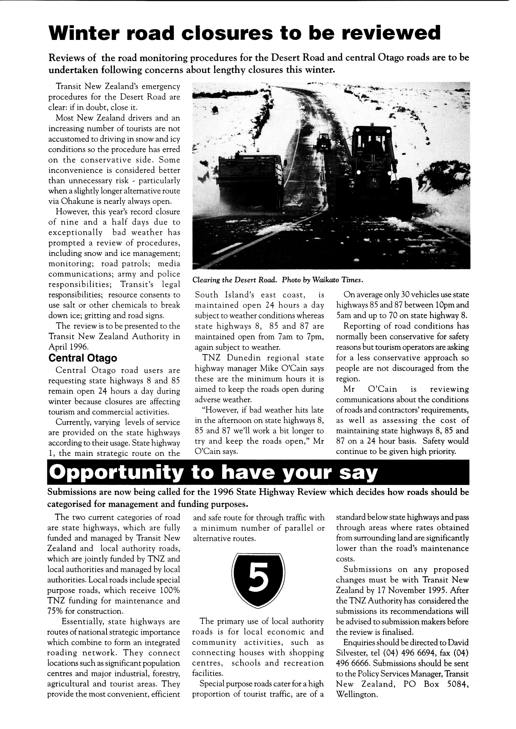
  • Review of the winter road closure policy for state highways
  • Launch of the State Highway Review (which reviewed which roads should become state highways and which should be cancelled as state highways)
  • Quality Assurance in road markings
  • First stock effluent disposal facilities trialled on two state highways
  • Visit by British accessible transport experts
  • Decision to construct slow vehicle lanes on both sides of SH29 Kaimai Ranges
  • Discussion of a private proposal to build the Te Puke Bypass, upgrade Pyes Pa Road and Route J. Ultimately Te Puke Bypass would become a state highway toll roads, Pyes Pa Road became a state highway and was upgraded, and Route J funded as part of the National Roads Programme.

11 August 2023

Transit New Zealand Project Evaluation System Guide


Background - Project Evaluation - Stretching the budget

How the Benefit/Cost Ratio is arrived at. Common questions about CBA

Common questions about CBA continued

Common questions about CBA continued

Common questions about CBA concludes

For the public and the media, the idea that roads and public transport would be funded based on a process of rational comparative analysis of benefits and cost was somewhat unfamiliar, compared with how most other government funding decisions were made. Transit New Zealand (still a funding agency as well as state highway manager) published this guide in July 1995 to help inform those without training in economics.

Some of the more interesting elements are:
  • Why Transit NZ believes cost/benefit analysis is the right method of assessment? 
  • Brief history of the concept in NZ
  • Factors taken into consideration
  • How public transport and alternatives to roads are considered
  • Allowances for natural disasters
  • Specific comment on why it did not fund Auckland's light rail project (a proposal by the Auckland Regional Council to convert the rail network to light rail)
  • Does most of the money go to Auckland?
Cost/benefit analysis began to be used in 1982, and became a requirement in 1988, so from 1989 Transit NZ would use cost/benefit analysis for all capital projects. At the time, Transit's view on concerns that many projects were not being funded was simply that there was insufficient funding to fund everything that had positive benefit/cost ratios (the funding threshold was 5 at the time).

Much would happen in subsequent years, within a year Transit New Zealand would no longer have a funding function (which was transferred to Transfund New Zealand), and by 2003 multi-criteria analysis was being applied until in 2008 further reforms saw the merger between Transit New Zealand and Land Transport New Zealand (returning to an integrated state highway manager and land transport funding agency, with regulatory functions) into the New Zealand Transport Agency. That legislative change under the Land Transport Management Amendment Act 2008 saw significantly greater Ministerial direction over the output classes for funding and the weighting given to objectives of land transport funding.

In 2023, Waka Kotahi uses much more complex multi-criteria analysis to assess funding proposals, with benefit/cost ratios being only part of the consideration as to the merits of projects getting funded.  This leaflet harks back to an era with much more limited funds (as the amount of funding granted was determined through the standard budgetary process) and a much tighter level of scrutiny on the use of those funds.

03 August 2023

National Land Transport Programme 1996 - Auckland regional office


NLTP 1996 - Auckland regional information


NLTP 1996 - Auckland/Northland summary allocations

NLTP 1996 - Summary of regional allocation by output class for Auckland

NLTP 1996 - Auckland local road construction funding

NLTP 1996 - Auckland local road safety construction funding

NLTP 1996 - Auckland State highway safety construction

NLTP 1996 - Auckland State highway construction and passenger transport funding

In the final of the NLTP 1996 regional newsletter series, is Auckland, which had by far the greatest funding allocation.  $184 million was allocated for Auckland and Northland. This newsletter mostly focuses on Auckland.  Key Northland projects include completion of the sealing of SH12 through the Waipoua Forest and local road seal extensions.  The output classes with the greatest share of spending were state highways.

Key state highway projects were commitments to complete:
  • SH16 North-Western Motorway Rosebank interchange (providing eastbound off and on-ramps at Rosebank Peninsula)
  • SH16 North-Western Motorway Western Springs to Newton widening
  • SH20 South-Western Motorway extension connecting Mangere Bridge to the Papatoetoe Bypass and Kirkbride Road (to connect to George Bolt Memorial Drive)
  • SH1 Southern Motorway widening Papatoetoe-Manukau-Manurewa 6-laning
Largest local road projects were:
  • Auckland City's South East Arterial project (now the South Eastern Highway) from Church St to Pakuranga Bridge (a scaled down version of a planned motorway from the SH20 to Pakuranga and along the former south-eastern corridor.
  • Completing the sealing of former SH16 (which is now once again SH16) at Cleasby's Hill.
In addition are a number of intersection and local street upgrades to improve capacity and safety.

Notable was funding granted for design of notable major projects:
  • Albany-Puhoi extension to Northern Motorway, between Albany and Orewa (subsequently built)
  • SH20 Hillsborough Road to Dominion Road extension (subsequently built beyond to Mt Roskill)
  • SH1 Victoria Park widening (subsequently did not proceed but was replaced by the Victoria Park Tunnel)
  • SH1 High occupancy lane extensions in advance of the Northern Busway (between Esmonde Road and the Auckland Harbour Bridge)
  • SH1 Schedewys Hill Bypass (superseded by the Puhoi-Warkworth motorway)
  • SH1 Kawakawa Bypass (not yet built)
  • SH1 Kamo Bypass (subsequently built)

31 July 2023

National Land Transport Programme 1996 - Wellington regional office (Wellington, Nelson, Tasman, Marlborough)


Top n Tales August 1995

NLTP 1996 - Wellington regional allocation

NLTP 1996 - Wellington state highway and local road projects

Top n Tales August 1995

The Wellington regional office newsletter covering the 1996 NLTP covers both Wellington and the Nelson/Tasman/Marlborough region's funding from Transit New Zealand.  Funding for the NLTP was nearly $47.4m for Wellington and $24.4m for Nelson/Tasman/Marlborough.

Wellington was noted as having the second highest allocation for passenger transport at just over $10m, with the remainder of funding slightly higher for state highways than for local roads. Nelson/Tasman/Marlborough's funding was predominantly for state highways. 

By far the biggest project in the Wellington region was the Newlands Interchange on SH1, which removed the last set of traffic lights on SH1 out of Wellington until the end of the motorway beyond the Mungavin Interchange.  Also of note was funding for the first stage of the Wellington Inner City Bypass, which simply converted Buckle Street and Vivian Street into a one-way pair east of Taranaki Street (feeding onto Vivian and Ghuznee Streets respectively).  It would be nearly ten years before the second stage of the Inner City Bypass would be funded, due to vocal opposition. The largest local road project in Wellington region was reconstruction of the Kent/Cambridge Terrace/Courtenay Place intersection (which is now due to be reconstructed again following decisions in Let's Get Wellington Moving). 

In Nelson/Tasman/Marlborough by far the biggest project was funding for seal extensions in Marlborough and Tasman. The largest state highway project in that region was the committed Whangamoa North Deviation on SH6.

30 July 2023

National Land Transport Programme 1996 - Waikato/Bay of Plenty regional office newsletter


Connections Newsletter August 1995

NLTP 1996 Waikato/BOP maintenance and safety improvements

NLTP 1996 - Waikato/BOP Bridge renewals, new construction, investigation and design projects

NLTP 1996 - Waikato/BOP investigation/design projects and commitments, with overall summary

The Hamilton regional office of Transit New Zealand covered both Waikato and the Bay of Plenty . This newsletter highlighted spending in both regions for the 1996 NLTP.  $96.9m was allocated for Waikato and $32.4m for the Bay of Plenty, with higher funding for any region outside Auckland.

In both regions state highway funding predominated, although local road funding was around two-thirds that for state highways.  A significant proportion of funding was for previously committed projects to the extent that no new state highway construction projects were approved (except safety improvement projects).

Notable was an explanation about the increase in seal extension funding (seen all across the country):

"Approximately 20 kilometres of road will be sealed in the Waikato and Bay of Plenty during 1995/96. This is a dramatic increase over the 4 kilometres of seal extensions completed in 1994/95 and is largely a result of TNZ's new evaluation procedures now placing a value on the" comfort factor that users assign to travelling on scaled roads"

Notable projects included:
  • Earthquake Flat realignment SH5 Rotorua
  • Pokeno Bypass SH1 (commitment)
  • Pukete Arterial, Hamilton City (commitment) 
  • Mangaiti Hill Realignment, SH1 South Waikato (commitment)
  • SH25 seal completion (commitment)
  • Mangatawhiri Bridge realignment SH1 (commitment)
  • Tamahere Interchange SH1 (commitment)
Also noted is extensive funding for investigation and design work on projects such as SH38 seal extension, Katikati Bypass SH2 (which has not proceeded) and four laning of state highways in Rotorua.  Indicative is an extensive commitment to funding small scale safety projects across local and state highway networks.

26 July 2023

National Land Transport Programme 1996 - Napier regional office newsletter (Gisborne/Hawke's Bay regions)


Avenues August 1995 edition

NLTP 1996 regional allocations Hawke's Bay/Gisborne

NLTP 1996 new construction projects Gisborne/Hawke's Bay

NLTP 1996 summary of allocations Gisborne/Hawke's Bay

The Napier regional office of Transit New Zealand covered both Hawke's Bay and Gisborne. This newsletter highlighted spending in both regions for the 1996 NLTP.  $28.5m was allocated for Hawke's Bay and $19.5m for Gisborne, indicating a significantly higher proportion of funding per capita for Gisborne than Hawke's Bay, as funding was driven essentially by need.

In both regions nearly as much was funded for local roads as for state highways, indicating the scale of maintenance and renewals needed across the road networks of both regions. Funding for passenger transport was low with less for Hawke's Bay than Gisborne, presumably dominated by paratransit provision with most other passenger transport being commercially provided.

By far the biggest project was the commitment to complete the Elands-Glengarry realignment on SH5 (Napier-Taupo road) at $4.51m, but there are also seal extensions in Gisborne district worth over $1m and around $1.3m in emergency works in both Gisborne and Wairoa districts for local roads. 

The biggest new construction project was local, with the Tapuaeroa Seal Extension, Part II in Gisborne district. with only two intersection upgrade projects on the State Highway network approved.  Interestingly the Pilchers Road intersection upgrade on SH2, is now on SH51 (as SH2 was shifted to the completed Hawke's Bay Expressway) on a section of road subsequently reduced in speed limit to 80km/h. 

Once again, this shows Transit New Zealand's commitment to uplifting the quality of the local road network, in partnership with territorial authorities willing to provide matching funds. Projects ranged from seal extensions to bridge replacements and roundabouts to improve safety.  Notable is the beginning of the project to extend seal on the Napier-Taihape Road in Hastings District (which ultimately would see the road fully sealed in the early 2010s). 

At the planning stage is significant spending on investigation and design for what was then called the Napier-Hastings Motorway (latterly the Hawke's Bay Expressway) for the extensions to Hastings (Omahu Rd) and the Airport, as well as the Kennedy Road Interchange to replace the previous accident prone traffic light controlled intersection.  Those projects would all be funded in the subsequent five or so years, seeing the major highway in Hawke's Bay shift from being through central Hastings and along the Napier foreshore to a two-lane expressway bypassing both Hastings and Napier, with two grade-separated intersections. 

22 July 2023

National Land Transport Programme 1996 - Whanganui regional office newsletter (Taranaki, Manawatu-Whanganui)


Translink August 1995

NLTP 1996 Taranaki/Manawatu-Whanganui new projects

NLTP 1996 Taranaki/Manawatu-Whanganui new projects

NLTP 1996 Taranaki/Manawatu-Whanganui summary

Translink was the newsletter for the Wanganui regional office of Transit New Zealand, covering Manawatu-Whanganui and Taranaki regions. This edition on the NLTP 1996 noted the following spending in the regions:
  • $40.5m total in Manawatu/Wanganui
  • $18.2m total in Taranaki
  • $30.7m  to be spend on local roads maintenance and capital (the majority of spending in the region)
  • $262,000 for passenger transport funding
Major new projects (over $1m) include:
  • Maxwell to Bushy Park Road Stage III realignment SH3 Whanganui;
  • Laws Hill Realignment SH57 south of Shannon;
  • Pipiriki Rd seal extension in Ruapehu District.
Other key projects noted were:
  • Seal extension SH43 of 2.2km (representing the start of sealing this State Highway, which was still not fully completed in 2023!)
  • Continuing the Potts Hill realignment SH57 north of Levin
  • Completing Greatford realignment SH1 north of Bulls
  • Completing 4-laning of Manawatu River Bridge and Fitzherbert Avenue Palmerston North
Notable is the relatively high spending on local roads in the region. State highway spending predominantly is focused on realignments, but the 4-laning of Manawatu River Bridge and Fitzherbert Avenue was about relieving congestion in Palmerston North between Massey University and the rest of the city.